Out of Stock
AAA
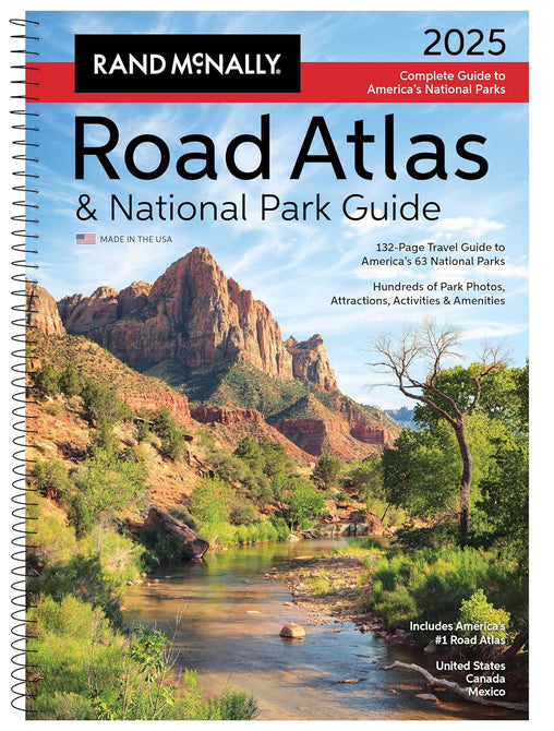
2025 Road Atlas & National Park Guide


AAA
2025 Road Atlas & National Park Guide
Member Price:
$29.99
Non-Members:
$34.99
Description
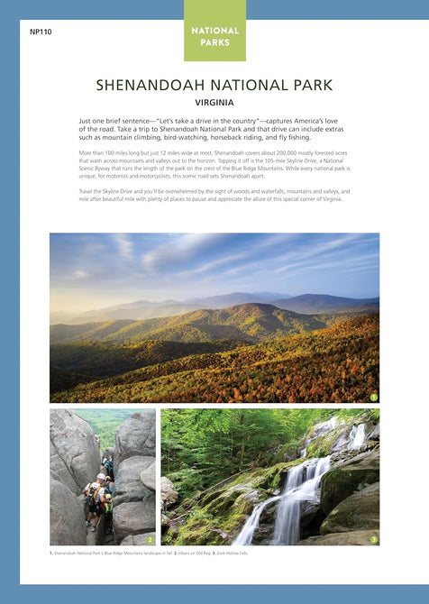
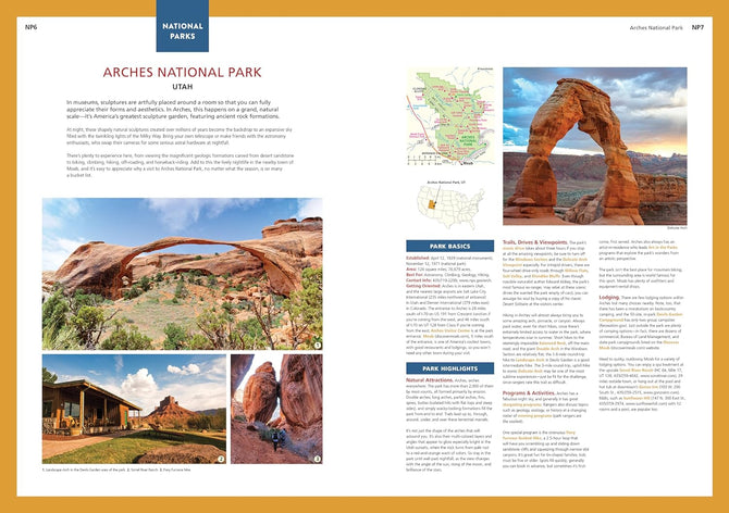
Showcasing this country's astonishing beauty, the Rand McNally Road Atlas & National Park Guide is packed with hundreds of photos, essential visitor information, and insightful travel tips for all 63 of America's national parks. Includes a complete 2025 Rand McNally Road Atlas to make navigating a breeze! Features Include: - A four-color (four different ink colors are used to create a range of printable colors) , 132-page National Park Guide details the best of the best in each park---from trails, drives, and natural wonders to programs, museums, and lodges. - Hundreds of photos capture the essence of each park. - Park inset maps highlight key points-of-interest.
Features
-
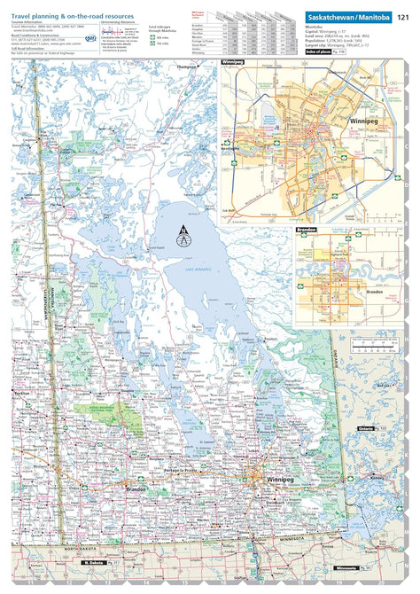
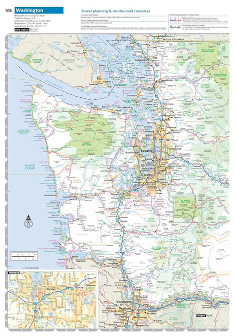
Updated maps of every U.S. state, Canadian province, and an overview map of Mexico.
-
Inset maps of over 375 cities and 63 U.S. national parks.
-
Road construction and conditions contact information for every U.S. state and Canadian province conveniently located above the maps.
-
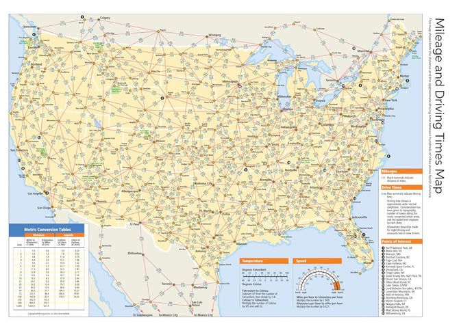
Mileage chart showing distances between 90 North American cities and national parks along with a driving times map. - Tell Rand! As much as we work to keep our atlases up to date, conditions change quickly and new construction projects begin frequently.
Specifications
| Dimensions | 10 7/8" x 15 5/16" |
| Weight | 2.6 lbs |
| Pages | 272 |
| Publication Year | 2024 |
| UPC | 9780528027536 |
| Item Number | MTB-0528027530 |